Finding the best marine weather app means identifying platforms that provide accurate marine forecasts, integrate with official weather data, and deliver timely alerts for rapidly changing conditions.
Boaters face weather challenges across diverse regions from coastal storms to inland squalls, making specialized marine weather apps essential for safe navigation.
This comprehensive guide reviews top marine weather app options, comparing features, accuracy, coverage, and value to help you choose the right forecasting tool for your boating needs.
Note: All prices listed are in USD. Boaters in other regions may see variations due to exchange rates and local taxes (for example, Canadian users may see approximately 30% higher prices in CAD).
Why Boaters Need Specialized Marine Weather Apps
Marine waters present distinct weather forecasting challenges that generic weather apps don’t address adequately. Official weather services provide marine forecast systems dividing waters into specific zones with localized predictions, but accessing and interpreting these forecasts requires dedicated marine weather apps. The best marine weather app solutions integrate official meteorological data with additional forecast models, buoy observations, and marine-specific features like wave height, wind patterns, and marine warnings.
Boaters deal with rapidly forming weather systems and localized wind patterns that coastal apps miss. Understanding weather pattern evolution helps boaters make safer decisions about departure timing and route planning. A quality marine weather app must handle regional variations while providing actionable intelligence boaters can use for navigation decisions.
Beyond raw forecast data, the best marine weather apps transform complex meteorological information into visual, easy-to-understand displays that help boaters make quick decisions. Integration with navigation platforms enhances value by correlating weather with planned routes and showing how conditions affect specific trip segments.
Official Weather Data: The Foundation
Official meteorological services provide marine forecasts and warnings that form the foundation for marine weather apps. These services deliver regular marine forecasts, extended forecasts, wave height predictions, and marine synopses including technical analyses and weather statements.
Marine weather warnings alert boaters to conditions posing hazards, with small craft warnings typically issued when winds exceed 20 knots (20-33 knots for strong wind/small craft advisories), gale warnings at 34 knots (34-47 knots), storm warnings at 48 knots (48-63 knots), and hurricane warnings at 64 knots (64+ knots for hurricane force).
While official weather data is authoritative and often free through various channels (VHF marine radio, telephone recordings, websites), accessing it conveniently while on the water requires mobile apps that aggregate and display this information effectively. The best marine weather app options pull official meteorological feeds and present them alongside supplemental forecast models, creating comprehensive weather pictures.
Boaters can access official marine forecasts through VHF-FM broadcasts on dedicated channels, telephone recordings in major regions, official weather websites, and third-party apps that incorporate the data. However, the presentation format matters significantly, raw text forecasts lack the visual clarity and route integration that modern apps provide.
Top Marine Weather Apps for Boaters
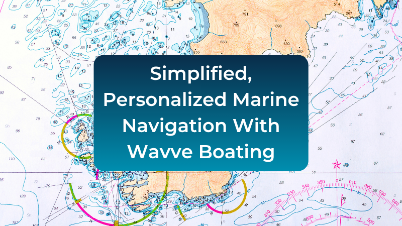
Wavve Boating: Integrated Navigation & Marine Weather
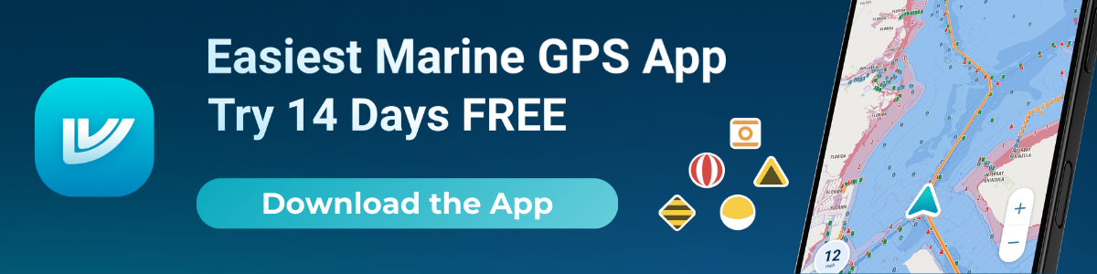
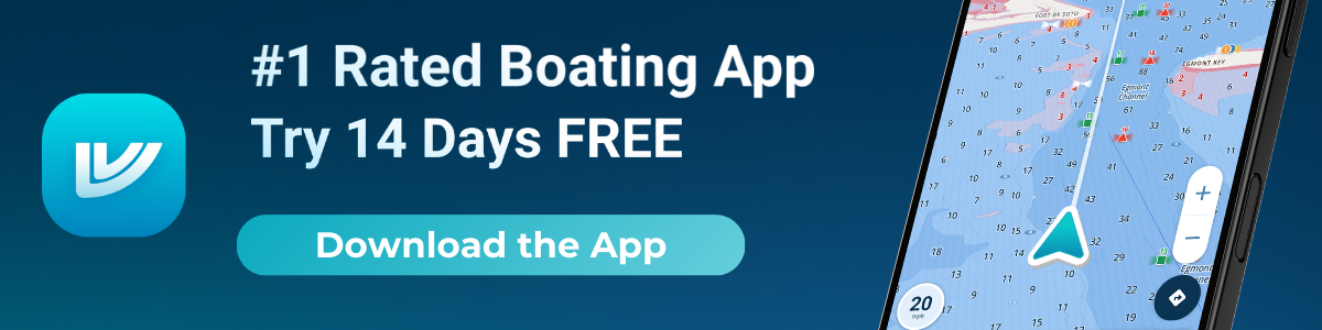
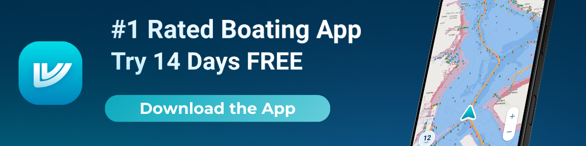
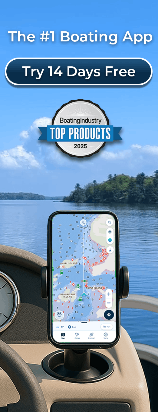
Wavve Boating combines official nautical charts with real-time marine weather, tides, and safety intelligence in a single app designed for recreational boaters. The platform overlays 7-day marine forecasts directly on navigation charts while providing automatic draft-aware depth shading and community-driven hazard reporting.
Key Features:
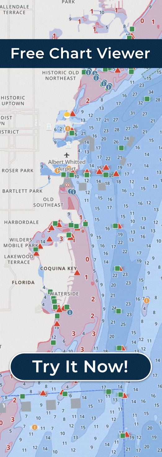
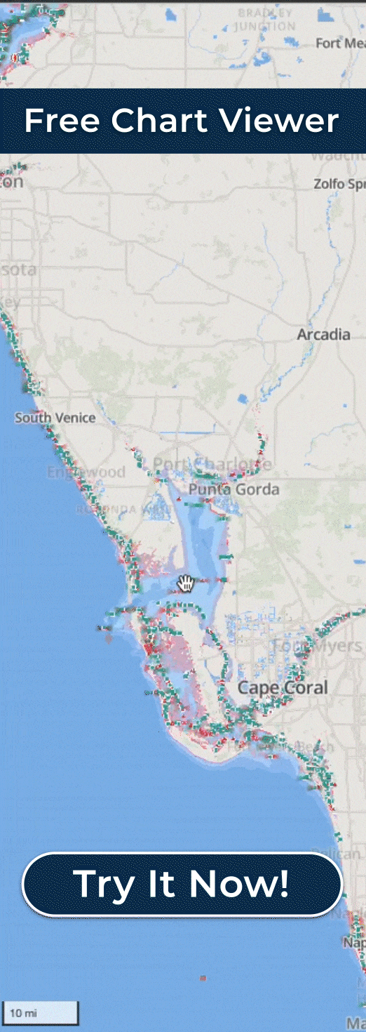
- 17,000+ official nautical charts worldwide (NOAA, CHS, AHO, UKHO)
- Automatic draft-aware depth shading (color-codes safe blue / shallow red based on your vessel draft + real-time tides)
- Real-time tide integration (depths update hourly with current water levels)
- 7-day marine weather forecasts layered on charts (hourly wind speed/gusts, wave height/period, conditions)
- Community hazard reporting & favorite spot sharing (real-time updates from active boaters)
- Smart autorouting (considers draft, hazards, and conditions)
- Full offline chart & weather downloads
- Track recording, waypoint management, GPX import/export
- Sea-Doo display integration for PWC riders
- Continuous automatic updates (charts, weather, features)
Pricing:
- $69.99/year or $11.99/month
- 14-day free trial (full access, no credit card required)
Strengths: Wavve excels at consolidating everything boaters need into one app—no switching between weather, charts, and tide tools. Draft-aware shading and real-time tide adjustments make shallow-water navigation dramatically safer and easier, especially in areas with significant tidal ranges or fluctuating water levels. Integrated weather layered on routes helps time departures and avoid rough conditions. The community layer adds practical local knowledge official charts can’t provide.
Limitations: Subscription-based model means ongoing cost (though competitive for the features included). Some advanced users may still prefer specialized tools for very niche needs (e.g., ultra-high-resolution fishing contours). App performance on older devices can occasionally feel slower when loading large chart regions.
Best For: Recreational boaters wanting all-in-one navigation and weather, shallow-water cruisers, coastal and inshore anglers, weekend boaters seeking simplicity and safety, PWC/jet ski riders, and anyone tired of juggling multiple apps or paying for hardware.
Windy: Visual Weather Mapping
Windy provides a map-based interface featuring multiple forecast models, animated wind and wave overlays, satellite imagery, and radar layers useful for visualizing changing conditions along coastal routes.
Key Features:
- Multiple forecast models displayed simultaneously (ECMWF, GFS, ICON, UKMO)
- Animated wind, wave, and precipitation visualizations
- Detailed spot forecasts for specific locations
- Radar and satellite overlays
- Wave height and period predictions
- Enhanced 2026 models like HRRR for high-resolution refresh
- Free with optional Windy Premium subscription
Pricing:
- Free version (robust features)
- Windy Premium: $24.99/year or higher tiers available
Strengths: Windy works well for showing broader weather pattern evolution, helping boaters understand systems approaching from offshore. The ability to compare ECMWF, GFS, and other models provides confidence through consensus or alerts you to model disagreements requiring extra caution. The visual presentation helps boaters see weather system development days in advance.
Limitations: Windy’s strength is visualization rather than marine-specific features. It lacks integrated tide data and doesn’t show marine zone forecasts in official format. The app provides less granular local forecasting than specialized marine apps.
Best For: Visual planners who compare models and scan coastlines at a glance, boaters wanting to understand weather system evolution, complementary weather app alongside navigation platforms.
PredictWind: Professional Marine Forecasting
PredictWind offers high-resolution forecast models, GRIB downloads, and routing tools specifically designed for marine use. The platform provides point-based forecasts, departure planning features, and offshore passage weather analysis.
Key Features:
- Multiple high-resolution forecast models (PWG, PWE, ECMWF, GFS, SPIRE)
- Weather routing for passage planning
- Departure planning tool comparing multi-day departure windows
- GRIB file downloads for offshore use
- Live wind observations from coastal stations
- Ocean current and sea temperature data
- AI-enhanced features in premium tiers (expanded in 2026 for better coastal breeze predictions)
Pricing:
- Free app (basic forecasts)
- Basic: $29/year
- Standard: $249/year
- Professional: $499/year
Strengths: PredictWind delivers professional-grade forecasting suitable for longer crossings, coastal passages, and offshore trips. The routing tools help optimize departure timing and course selection based on predicted wind patterns. The platform serves boaters planning passages and multi-day trips.
Limitations: The app’s complexity can overwhelm casual boaters wanting simple yes/no boating decisions. Premium features require significant subscription investment. Interface assumes user familiarity with meteorological concepts and marine weather interpretation.
Best For: Passage planners, serious sailors, offshore boaters, cruisers planning longer crossings, boaters who understand and value detailed meteorological data.
Windfinder: Wind and Tide Focus
Windfinder delivers reliable forecasts for wind, waves, and tides at thousands of locations worldwide including extensive Canadian coverage. The animated wind map and real-time station observations make it easy to check conditions at marinas, beaches, and coastal access points.
Key Features:
- Spot-specific wind and wave forecasts
- Real-time wind observations from stations
- Tide predictions integrated with forecasts
- Wind map animations
- Customizable alerts for wind conditions
- Weather trend graphs
Pricing: Free with optional Plus subscription ($12.99-$14.99/year) and ad-free upgrades. Free version provides robust functionality for most recreational needs.
Strengths for Canadian Waters: Windfinder’s extensive station network across Canada provides real-time wind data valuable for correlating forecasts with actual conditions. The tide integration helps boaters timing departures around water levels. Simple interface makes quick wind checks easy before leaving dock.
Limitations: Less comprehensive than full marine weather platforms. Focused primarily on wind and waves rather than complete weather pictures. Limited precipitation and temperature details compared to broader weather apps.
Best For: Quick wind and tide checks, marina and inlet monitoring, boaters prioritizing wind accuracy over comprehensive forecasts, budget-conscious users wanting free reliable basics.
SailFlow: Community-Powered Wind Reports
SailFlow provides strong local wind reporting powered by extensive networks of coastal weather stations, creating real-time wind awareness particularly valuable in areas with highly localized conditions.
Key Features:
- Real-time wind reports from thousands of stations
- Community-contributed observations
- Wind forecast comparisons with actual conditions
- Station-specific wind history
- Alert system for preferred wind conditions
Pricing: Free basic version. Pro subscription ($119.99/year) unlocks extended features and removes advertisements.
Strengths for Canadian Waters: Great Lakes boaters benefit from SailFlow’s dense station coverage showing real-time wind variations across large water bodies. The historical accuracy tracking helps identify most reliable forecast models for specific locations.
Limitations: Focused almost exclusively on wind. Lacks wave height details, comprehensive weather, and precipitation forecasts. Premium pricing steep for limited feature scope compared to broader marine apps.
Best For: Wind sports enthusiasts, sailors prioritizing wind accuracy, Great Lakes boaters wanting localized real-time reports, forecasting verification against actual observations.
Marine Weather Forecast Pro: Comprehensive Data Integration
Marine Weather Forecast Pro provides comprehensive marine weather centered on official data with features including real-time buoy data, marine forecasts, wave model predictions, and harmonic tide forecasts.
Key Features:
- Real-time buoy observations
- 5-day marine forecasts
- WaveWatch III model predictions
- 7-day harmonic tide forecasts
- Historical wave trend reports
- Offshore marine zone forecasts
Pricing:
- Free: Basic version
- Pro: $11.99/year or $3.99/month
Strengths: Real-time buoy data offers ground truth for forecast verification. Wave model predictions useful for offshore planning. Interface provides detailed model data for technical users.
Limitations: Interface complexity exceeds needs of casual boaters. Coverage strongest in certain regions. Less visual presentation compared to apps like Windy.
Best For: Technical users wanting detailed model data, offshore fishermen needing wave predictions, boaters comfortable with detailed forecast formats.
Buoyweather: Point-Based Marine Forecasts
Buoyweather offers point-based marine forecasts tailored for offshore locations with wind, swell, and tide breakdowns. The platform targets offshore anglers and cruisers seeking clear wind and wave guidance for specific GPS coordinates.
Key Features:
- Custom location forecasts
- Wind, wave, and swell predictions
- Tide integration
- Extended forecasts
- Passage weather routing
Pricing:
- Free: 2-day forecasts
- Premium: $95.99/year or $14.99/month (16-day forecasts)
Coverage: Worldwide coverage including coastal and offshore regions. Good coverage across major boating areas globally.
Strengths: Point-based forecasting works well for specific fishing locations or anchorage planning. Clean presentation makes complex data accessible to recreational users. Coverage is comprehensive across coastal and offshore regions.
Limitations: Less real-time data than station-based apps. Limited community features or local knowledge integration. Offshore focus means less granular inshore and coastal detail for shallow-water navigation.
Best For: Offshore anglers, cruisers selecting anchorages, boaters planning specific waypoint weather, simple point-forecast preference over complex models.

Integrated Navigation and Weather Platforms
The most comprehensive marine weather solution often comes through integrated navigation platforms that combine charts, routing, and weather into single apps. Rather than switching between navigation and dedicated weather apps, integrated systems provide weather overlays directly on planned routes.
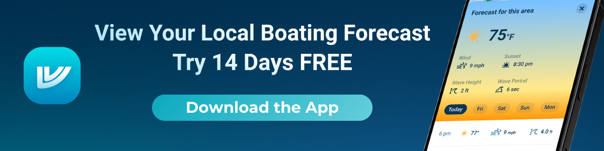
One platform that integrates marine weather forecasts directly onto navigation charts is Wavve Boating. The system displays 7-day forecasts including wind speed, wind gusts, wave height, wave period, and weather conditions layered on the same map used for route planning. This integration helps boaters understand how weather affects specific trip segments rather than just knowing general conditions.
The platform covers waters globally with marine weather data from official sources that updates hourly, providing current conditions alongside extended forecasts. For boaters who value consolidated information over separate apps, this integrated approach offers efficient weather awareness.
Beyond weather, the platform includes draft-aware depth shading, real-time tide integration, community hazard reporting, and offline chart downloads, combining multiple tools recreational boaters need under one subscription at $69.99 annually.
For boaters exploring options beyond single-purpose weather apps, understanding how modern navigation platforms integrate weather helps identify solutions that streamline on-water decision-making through consolidated displays.
Quick Comparison: Top Marine Weather Apps
| App | Annual Premium Price (USD) | Key 2026 Features | Best For |
| Wavve Boating | $69.99 | Integrated nav/weather, draft-aware depths | All-in-one navigation + weather |
| Windy | $24.99 (free robust) | Enhanced HRRR models, multi-model visualization | Visual pattern analysis, system tracking |
| PredictWind | $29-$499 (tiers) | AI coastal breeze predictions, advanced routing | Serious offshore/passage planning |
| Windfinder | $12.99-$14.99 | Improved station data, wind/tide integration | Quick wind checks, tide timing |
| SailFlow | $119.99 | Dense real-time wind network | Great Lakes/localized wind accuracy |
| Marine Weather Pro | $11.99 | Buoy data, WaveWatch III integration | Technical users, detailed forecasts |
| Buoyweather | $95.99 | Point-based 16-day forecasts | Offshore fishing, anchorage planning |
Choosing the Best Marine Weather App for Your Needs
Inland and Lake Boaters
Conditions on large inland lakes change rapidly with localized weather forming quickly across large bodies of water. The best marine weather app options for inland boating include Windy for pattern visualization, SailFlow for real-time wind monitoring across lakes, and Windfinder for station observations and tide data. Combining pattern awareness with real-time verification provides best safety margin.
PredictWind serves boaters planning longer crossings between ports, while integrated platforms like Wavve Boating offer consolidated navigation and weather for weekend recreational boating.
Coastal Boaters
Coastal waters face complex weather influenced by ocean systems, land effects, and localized conditions. Windy helps visualize approaching weather systems days in advance. PredictWind provides detailed offshore forecasting for cruisers. Buoyweather offers point-specific forecasts for anchorage planning.
The best marine weather app choice for coastal boaters often involves combining broader pattern tools (Windy) with local detail platforms and staying connected to official marine broadcasts for coastal warnings.
Offshore and Ocean Boaters
Offshore weather includes ocean systems, extended passages, and fishing trips requiring comprehensive forecasting. Windy shows system track evolution, while Windfinder provides tide integration when approaching harbors. PredictWind serves offshore passages and fishing trips.
Boaters benefit particularly from apps integrating tide data with weather since tidal ranges significantly affect navigation timing in many areas. Understanding how tides impact navigation helps maximize weather app utility.
River and Inland Waterway Boaters
Rivers and waterways combine current effects with localized weather patterns requiring specific forecasting. Apps with good station coverage (Windfinder, SailFlow) provide real-time wind verification. Integrated platforms offering both navigation and weather suit dynamic river conditions well.
Current information matters significantly in waterways, making apps that don’t integrate current data less valuable than comprehensive marine platforms.

Free vs Paid Marine Weather Apps
Several free marine weather apps serve boaters adequately. Windy offers a robust free tier, Windfinder’s free version provides core functionality, and official meteorological data remains freely accessible through various channels. For recreational boaters on tight budgets, these free options deliver reliable forecasting.
Paid subscriptions ($20-250/year depending on features) typically add extended forecasts, high-resolution models, routing tools, and enhanced features valuable for serious boaters but unnecessary for casual recreational use. The decision to pay depends on how frequently you boat, complexity of your passages, and value placed on marginal forecast improvements.
For boaters wanting comprehensive solutions consolidating charts, tides, weather, and navigation, integrated platform subscriptions ($60-100/year) can cost less than purchasing separate apps while delivering better utility through consolidated displays.
Tips for Using Marine Weather Apps
Check Multiple Sources
No single forecast model perfectly predicts marine weather. Serious boaters check 2-3 different apps comparing forecasts for consensus or identifying concerning disagreements. When models disagree significantly, exercise extra caution and consider postponing trips in marginal conditions.
Verify with Real-Time Data
Forecast accuracy improves when verified against real-time observations. Apps providing buoy data and weather station reports let you confirm whether forecasts are tracking actual conditions. Significant divergence between predicted and observed conditions warrants heightened situational awareness.
Understand Local Pattern Recognition
Generic forecast models sometimes miss local effects like afternoon winds on large lakes or inlet-specific patterns along coasts. Experienced local boaters recognize these patterns that apps don’t always capture. Use apps as tools supporting judgment, not replacing local knowledge.
Monitor Trends Not Just Current Forecasts
Weather app value increases when tracking forecast evolution over days. Watching how predictions change as systems approach reveals model confidence and potential forecast errors. Stable multi-day forecasts inspire more confidence than models shifting dramatically 12-24 hours before departure.
Set Weather Alerts Appropriately
Many apps allow custom alerts for wind speed thresholds, wave heights, or precipitation. Configure alerts matching your vessel’s capabilities and comfort levels. Official marine warnings (winds exceeding 20 knots for small craft warnings) represent standard thresholds, but your personal limits may be different.
Making Your Final Decision
The best marine weather app for your boating depends entirely on where you boat, how frequently, and what weather information you actually use for decision-making. Casual weekend boaters in familiar waters may find free apps like Windy or Windfinder sufficient. Serious cruisers planning multi-day passages benefit from professional tools like PredictWind despite higher costs.
Many boaters ultimately use 2-3 apps: one for visual pattern understanding (Windy), one for real-time verification (Windfinder/SailFlow), and potentially an integrated navigation platform that includes weather overlays for route-specific forecasting.
Testing free trials and free versions before committing to paid subscriptions ensures you’re investing in tools you’ll actually use. The best marine weather app isn’t necessarily the most expensive or feature-rich, it’s the one you check consistently and trust for making sound boating decisions.
For boaters seeking consolidated solutions, exploring platforms that integrate marine weather with navigation reduces app-switching and streamlines pre-departure planning through unified displays showing weather impacts on specific routes.
Frequently Asked Questions
What is the most accurate marine weather app?
No single app is universally most accurate. Windy, PredictWind, and apps incorporating official meteorological data all provide reliable forecasts. Accuracy varies by region and weather pattern. Checking multiple apps for consensus improves forecast confidence compared to relying on one source.
Are free marine weather apps good enough for boaters?
Yes, for most recreational use. Windy’s free tier provides good visualization. Windfinder free version offers solid wind and tide data. Official meteorological forecasts provide authoritative data at no cost. Paid apps add features valuable for serious boaters but unnecessary for casual weekend use.
What marine weather app works best for large lakes?
Windy for pattern visualization, SailFlow for real-time wind monitoring, and Windfinder for station observations work well for large inland lakes. Serious cruisers benefit from PredictWind. Many lake boaters use multiple apps for comprehensive awareness across large water bodies.
What’s the best marine weather app for beginners?
Windfinder offers simple, clear presentation ideal for beginners. Windy provides visual understanding without overwhelming detail. Integrated navigation apps with built-in weather help beginners correlate forecasts with routes. Start with free versions before investing in complex paid platforms.
Do marine weather apps work offline?
Most apps require internet connectivity for forecast updates. Some allow downloading forecasts for offline viewing, but data becomes stale without updates. For remote waters, download latest forecasts before leaving coverage, but understand predictions won’t update until reconnecting.
How much do the best marine weather apps cost?
Costs range from free (Windy, Windfinder, Garmin ActiveCaptain) to $11.99/year (Marine Weather Pro), $29/year (PredictWind Basic), $24.99/year (Windy Premium), $95.99/year (Buoyweather Premium), and up to $499/year (PredictWind Professional). Most boaters find free or low-cost options sufficient for recreational needs.
Can I use multiple weather apps together?
Yes, and it’s recommended. Many experienced boaters use Windy for patterns, Windfinder or SailFlow for real-time verification, and potentially an integrated navigation app with weather overlays. Comparing multiple forecasts provides better confidence than relying on a single source.
Content
- Why Boaters Need Specialized Marine Weather Apps
- Official Weather Data: The Foundation
- Top Marine Weather Apps for Boaters
- Integrated Navigation and Weather Platforms
- Quick Comparison: Top Marine Weather Apps
- Choosing the Best Marine Weather App for Your Needs
- Free vs Paid Marine Weather Apps
- Tips for Using Marine Weather Apps
- Making Your Final Decision
- Frequently Asked Questions
- What is the most accurate marine weather app?
- Are free marine weather apps good enough for boaters?
- What marine weather app works best for large lakes?
- What’s the best marine weather app for beginners?
- Do marine weather apps work offline?
- How much do the best marine weather apps cost?
- Can I use multiple weather apps together?