What is a Marine GPS Chartplotter?
A marine GPS chartplotter is a vital tool for boaters, combining GPS technology with detailed marine charts to offer real-time navigation data. These devices are specifically designed for use on the water, offering more than just basic location tracking. Chartplotters display your position on detailed electronic charts, helping you navigate safely and accurately. Many models integrate additional functions such as sonar, radar, and AIS (Automatic Identification System), which is especially important for offshore and professional boating.
The key advantage of chartplotters is their robust build and functionality, providing reliable data even in harsh conditions. Unlike typical GPS systems, marine chartplotters are built to withstand saltwater, intense sunlight, and moisture, ensuring they continue to function in tough marine environments. For serious boaters, chartplotters are essential for both day-to-day navigation and safety, especially in unfamiliar or offshore waters.
Why You Need a Marine GPS Chartplotter
Chartplotters are indispensable for ensuring safe, efficient navigation on the water. With built-in GPS capabilities, they provide continuous position tracking, ensuring you know exactly where you are at all times. This is crucial, especially when navigating in unfamiliar areas or offshore waters where landmarks may not be visible. Chartplotters also offer more advanced features such as route planning, depth and contour maps, and weather overlays—tools that are vital for planning safe and efficient trips.
Safety is another critical reason to invest in a marine GPS chartplotter. Many models integrate sonar and radar systems, allowing boaters to avoid underwater obstacles, track other vessels, and monitor weather patterns in real-time. Features like AIS can also alert boaters to nearby vessels, reducing the risk of collision. For professional and long-distance boaters, chartplotters provide a comprehensive navigation solution that ensures both safety and efficiency on the water.
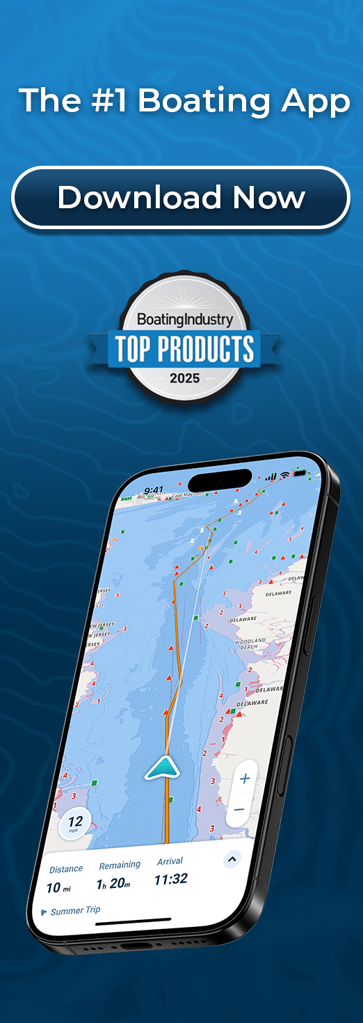
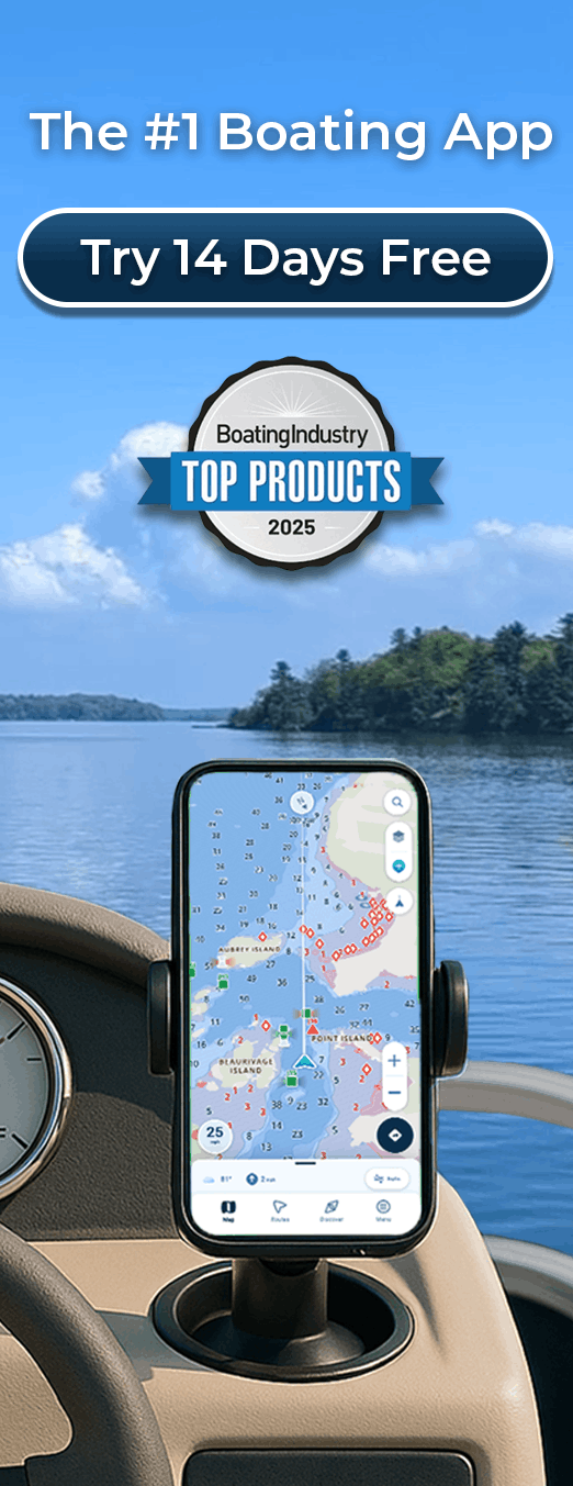
Marine GPS Chartplotters vs Marine Navigation Apps
While chartplotters offer the most comprehensive and reliable navigation tools, there are alternatives, especially for recreational boaters. Marine navigation apps can be a more portable and affordable option. These apps provide many of the same basic features as chartplotters, such as GPS tracking, route planning, and weather overlays, but are accessible through a smartphone or tablet.
The key difference between chartplotters and marine apps is that chartplotters are built specifically for marine environments, offering advanced integration with radar, sonar, and other onboard systems. They also tend to have larger, more visible screens designed for use in all weather conditions. In contrast, marine apps are portable and lightweight, making them ideal for short trips or casual boaters who don’t need the full functionality of a chartplotter. While apps are becoming increasingly sophisticated, chartplotters remain the go-to choice for serious boating, particularly for offshore and long-distance use.
Top Marine GPS Chartplotter Brands
When it comes to selecting a marine GPS chartplotter, a few brands consistently stand out for their reliability, features, and performance. The top brands include Garmin, Raymarine, and Simrad, each offering a variety of models suited for different boating needs.
- Garmin is known for its user-friendly interfaces and high-quality displays. Popular models like the Garmin GPSMAP Series offer extensive charting capabilities, radar integration, and a range of sizes to fit different boat types. Garmin chartplotters are ideal for both coastal and offshore navigation.
- Raymarine is another leading brand that excels in marine navigation. The Raymarine Axiom series combines a sleek touchscreen interface with robust charting, radar, and sonar integration. These chartplotters are designed to offer reliable performance under any weather conditions, making them a favorite among professional boaters and anglers.
- Simrad is known for its intuitive design and ease of use. The Simrad GO Series is a popular choice for recreational boaters, offering a mix of advanced charting, weather overlays, and integration with other marine systems. Simrad’s models are ideal for boaters looking for a balance between performance and affordability.
Key Features to Look for in a Marine GPS Chartplotter
When choosing the best marine GPS chartplotter for your needs, there are several key features to consider:
- Screen Size and Resolution: Larger screens make navigation easier and more visible, especially in bright sunlight. Look for chartplotters with at least a 7-inch display for basic needs and up to 12 inches or more for offshore and professional use.
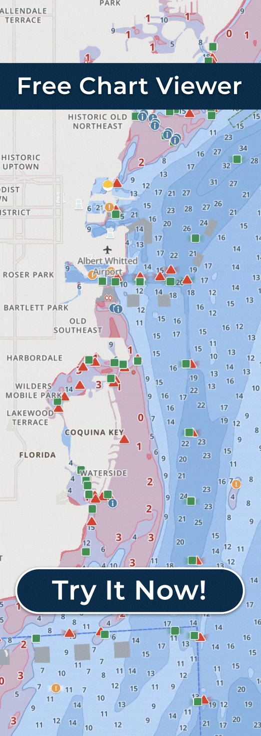
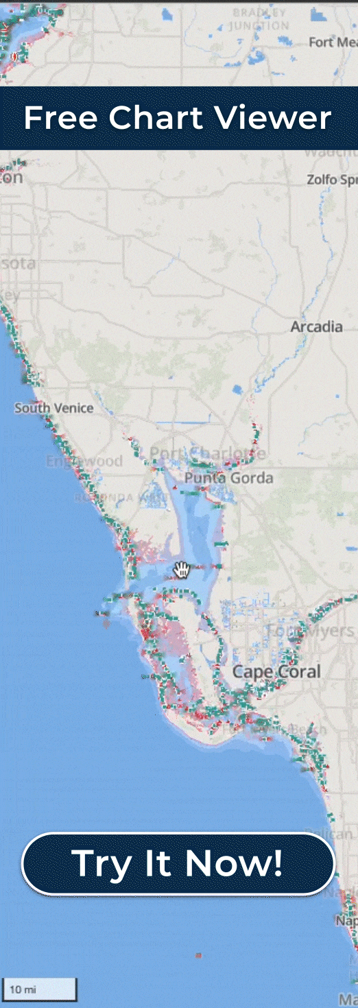
- Charting Options: Ensure that the chartplotter supports detailed charts for the specific waters you navigate—whether that’s offshore, coastal, or inland. Many chartplotters allow for chart upgrades, so be sure to choose a model that can adapt as your navigation needs grow.
- Radar, Sonar, and AIS Integration: These features are vital for safety and navigation, especially in busy waterways or when fishing. Radar allows you to detect objects or weather patterns, sonar helps you find fish or avoid underwater obstacles, and AIS provides real-time data about nearby vessels.
- Touchscreen vs Button Interface: Touchscreen chartplotters are more modern and intuitive, but they may not be as easy to operate in rough seas or when wearing gloves. Button-based models are often more reliable under these conditions, but they may not offer the same level of convenience.
- Connectivity: Look for chartplotters with Wi-Fi and Bluetooth capabilities to connect to mobile apps, sensors, and other marine electronics. This makes it easier to receive updates, track weather, and manage navigation while out on the water.

Best Marine GPS Chartplotters
When choosing the best marine GPS chartplotter, it’s important to consider your boating style, budget, and specific needs. Below are some of the top chartplotters for 2025:
- Garmin GPSMAP 1222xsv: This chartplotter offers a bright, sunlight-readable screen, detailed maps, and advanced sonar capabilities. It’s perfect for offshore boaters and anglers who need real-time navigation and fish-finding technology. The Garmin GPSMAP 1222xsv also integrates seamlessly with other Garmin devices and apps, making it a solid choice for a fully connected boat.
- Raymarine Axiom 9: Known for its powerful processing and user-friendly interface, the Raymarine Axiom 9 is a top pick for both novice and experienced boaters. With a 9-inch display, it offers clear charting and radar integration, while its built-in Wi-Fi allows for easy updates and mobile connectivity. This model is ideal for coastal cruisers and those looking for an intuitive touchscreen system.
- Simrad GO9 XSE: The Simrad GO9 XSE offers excellent value with features like detailed mapping, weather overlays, and fish-finding sonar. Its compact 9-inch screen is perfect for smaller boats or those who want a smaller system without sacrificing performance. The touchscreen interface is simple to navigate, making it an accessible option for recreational boaters.
- Humminbird HELIX 12 CHIRP MEGA SI+: A top choice for anglers, this chartplotter features Humminbird’s MEGA Side Imaging sonar technology, allowing boaters to get a clear view of their surroundings and find fish with ease. The 12-inch screen is perfect for detailed charting, and it offers compatibility with a range of sensors and accessories.
How Much Does a Marine GPS Chartplotter Cost?
The cost of a marine GPS chartplotter can vary widely depending on the features and brand. Here’s a breakdown of what you can expect:
- Budget Options: For casual boaters, entry-level models typically range from $300 to $800. These chartplotters offer basic GPS functionality, small to medium-sized screens, and basic charting. Some models in this range may offer limited sonar and radar integration but will still provide reliable navigation for day trips or coastal boating.
- Mid-Range Models: In the $800 to $1,500 range, you’ll find chartplotters with larger screens, better sonar and radar integration, and more advanced charting features. These are ideal for boaters who require more precision and functionality without breaking the bank.
- High-End Models: Premium chartplotters can cost $2,000 and up, with larger, high-resolution screens and comprehensive integration with other marine electronics. These models often come with advanced radar, sonar, and AIS capabilities, making them ideal for professional or offshore boaters who need top-of-the-line performance and accuracy.
How to Choose the Best Marine GPS Chartplotter for You
Choosing the best marine GPS chartplotter depends on your specific needs, boating style, and budget:
- Boating Style: If you’re a casual boater who mainly sticks to the coast or short trips, a budget-friendly option might suffice. However, for offshore or professional boating, you’ll need a high-end chartplotter that can integrate with radar and sonar systems.
- Size and Installation: Consider the space available on your boat for the chartplotter. Larger boats can accommodate bigger units, while smaller boats may require a more compact device. Ensure that the model you choose fits your boat’s dashboard and offers easy visibility from the helm.
- Ease of Use: Think about how easy the system is to use. Touchscreen models are convenient, but if you’re boating in rough seas, a button interface may offer more control and reliability. Many modern chartplotters offer both options, so you can choose what feels best for your boating conditions.
- Long-Term Investment: Consider how your needs might evolve over time. A higher-quality chartplotter may have a steeper initial cost, but its durability and advanced features can make it a worthwhile long-term investment for serious boaters.
Common Mistakes to Avoid When Buying a Marine GPS Chartplotter
When shopping for a marine GPS chartplotter, many boaters make avoidable mistakes that can impact performance and usability. One of the most common is choosing a unit based solely on price rather than features that match their boating needs. Others overlook compatibility with existing onboard electronics like sonar or radar, which can limit functionality. Screen size and visibility are also frequently underestimated—what looks fine in-store may be difficult to read in bright sunlight or rough conditions. Additionally, failing to consider future upgrades or expansion can lead to outgrowing the device too quickly. Taking the time to evaluate these factors ensures you invest in a system that performs reliably and meets your long-term needs on the water.
Conclusion
Ultimately, the right marine GPS chartplotter comes down to your boating style, specific needs, and how much you’re willing to spend. If you want advanced navigation, built-in safety features, and high-performance tools, options from leading brands like Garmin, Raymarine, or Simrad are solid choices. On the other hand, if you prefer something more budget-friendly or portable, marine navigation apps can deliver a convenient and cost-effective solution.
Selecting the right setup—whether a dedicated chartplotter or a mobile app—helps ensure you’re equipped to navigate with confidence and stay safe on the water, wherever your trips take you.